
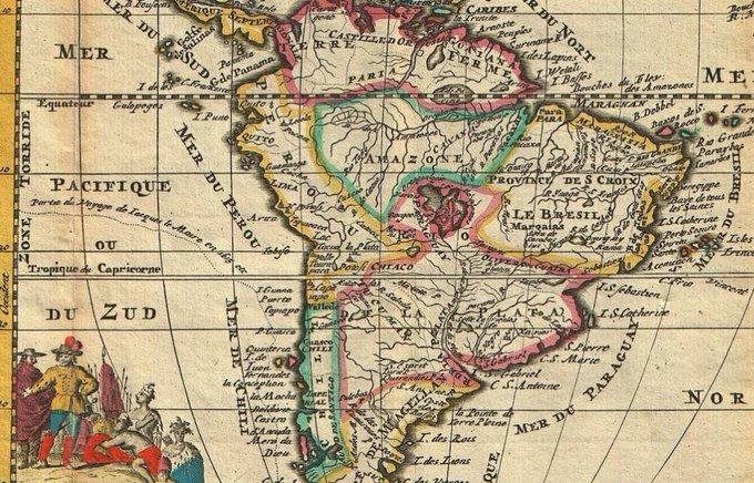
Amerika the 17th century maps of America being more accurate and informative than the 18th or 19th century maps? For example, the map of 1747, where South America was already divided into zones and countries, the large bodies of water on the equator came from somewhere, but the Andes, which run through the entire west coast of South America. Do you think the mountains seen from the coast can be overlooked?
Amerika the 17th century maps of America being more accurate and informative than the 18th or 19th century maps? For example, the map of 1747, where South America was already divided into zones and countries, the large bodies of water on the equator came from somewhere, but the Andes, which run through the entire west coast of South America. Do you think the mountains seen from the coast can be overlooked?
0 Комментарии
0 Поделились

 English
 Arabic
 French
 Spanish
 Portuguese
 Deutsch
 Turkish
 Dutch
Dutch
 Italiano
 Romaian
 Portuguese (Brazil)
 Greek
Greek